Menu

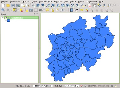
QGIS Suite Desktop / Server / Mobile
- Sophisticated styling and labeling
- Query and selection of geometry and attribute data
- Extensive analysis functions
- Editing of geometry and attribute data (Digitizing)
- Numerous additional extensions
- Create professional map compositions
Moreover, the QGIS project provides the components QGIS Server and Web Client for providing OGC services (WMS, WFS, WCS) via internet.
Specialist support
The Geoinformatikbüro Dassau has a long standing commitment to the development of QGIS project and offers its customers a complete range of services for professional use.