Menu

GRASS GIS
- Topological Vector data analysis
- 2D and 3D Raster data analysis
- Data modeling
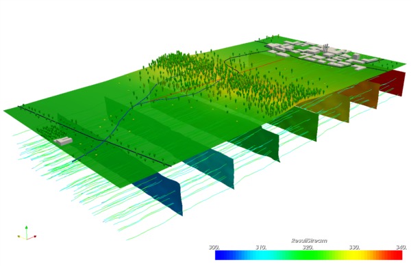
- 2D and 3D data visualisation
- Vector network analysis
- Image data analysis
- Interpolation of Point data
- Temporal Analysis
- Geostatistical Analysis
- Batch Scripting in Python and Shell

Integration in QGIS
Moreover, it's possible to integrate GRASS GIS in QGIS. Analysis can be used through the GRASS plugin or the Processing plugin.
Professional support
The Geoinformatikbüro Dassau is working for many years with GRASS GIS and actively participates in the development of the sofware and the project. With this experience we offer our customers a complete range of services for professional use.

